Cadair Idris, Snowdonia
Location: Snowdonia National Park, England
Length: 10 miles
Time Taken: 4 Hours
Difficulty: Moderate - Hard
Elevation Gain: 897m
Find the map at the bottom of the page.
Cadair Idris is one of the best mountain hikes in Snowdonia. This hike holds a special place in my heart because it was my first solo mountain hike and the highest mountain climbed at that point. I learnt so much about myself and what I was capable of and has made me hungry to do more solo adventures.
I went to Cadair Idris on a hot summers day (believe it or not judging by the look of those clouds in the images). It was beautiful but it did mean I had to stop so many times to drink some water (hydration pack needed!) The trail was fairly busy as it was peak summer holidays however, a lot quieter compared to the more popular mountain in the National Park, Snowdon (Yr Wyddfa).
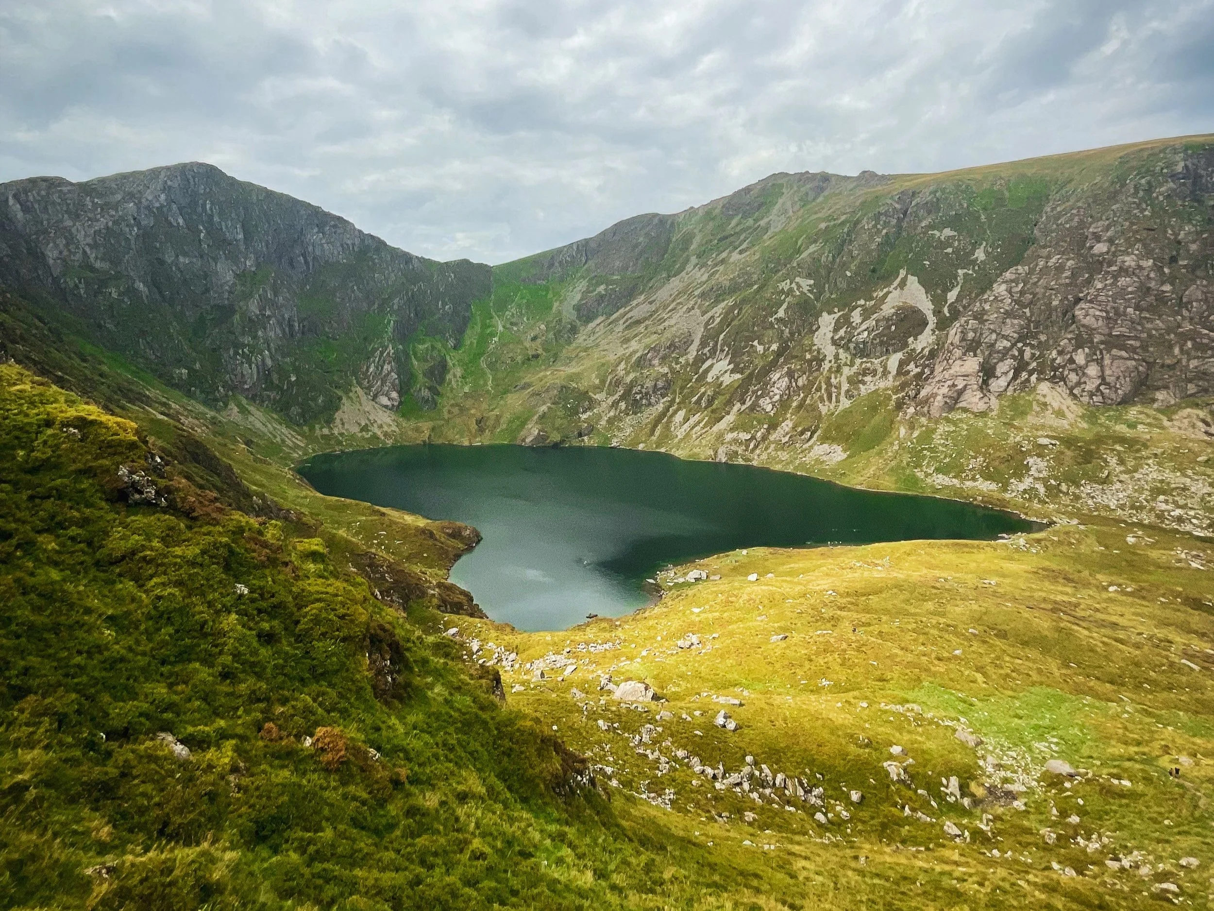
The hike begins at the paid carpark at the beginning of the Minffordd Path where there are public toilets and clear trail signs towards the mountain. I would say this hike has two sections, the steep, never-ending stone path from the carpark to the lake and then the fun mountain trail up to the summit.
After the long slog of the first section, I remember that feeling when I finally caught sight of Cadair Idris and its lake, Llyn Cau.

As much as I wanted to dive straight into that lake, I resisted temptation and continued the climb up to the summit. Much like most other mountains, there were a few false summits before reaching the top and oh my, were the views worth it!


I admired the view a little while longer until I couldn't resist temptation to get in that lake. I don’t think I’ve ever descended a mountain so quickly in my life haha! I’ve got to say, I’m so glad I swam in the lake at the end of the hike because what a reward…
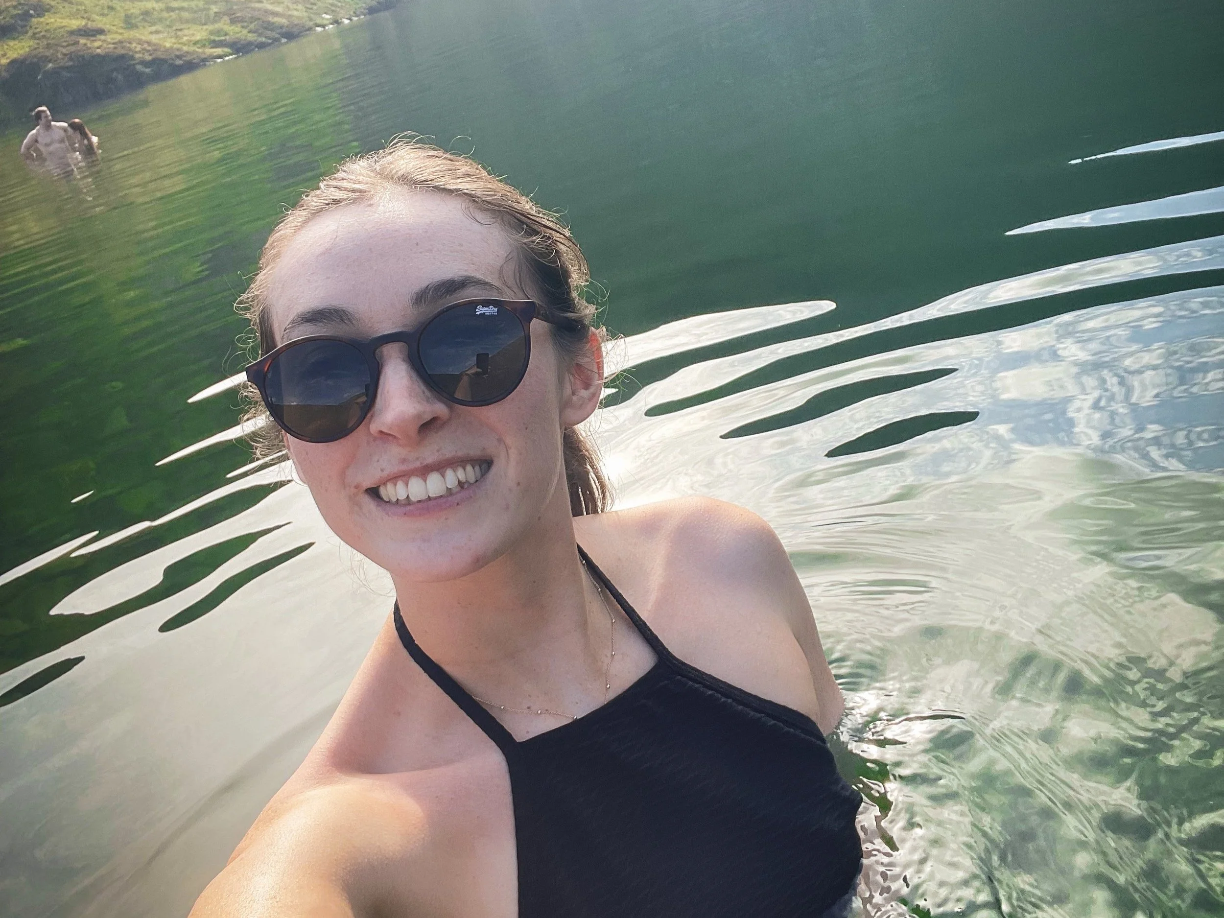
I let the summer sun dry me off before heading back down to the carpark to mark the end of this magical hike.
@amys_littletrips x